It’s early morning. The sky is one solid, low cloud layer. The air feels smooth. Visibility is fair to poor, kind of hazy. A slight rain is falling consistently. What does this tell you?
Imported item 62
The correct answer is:

Smooth air, a flat cloud layer (stratus), steady light rain, and haze are signs of stable air. Unstable air would be tall clouds, turbulent air, showery (non steady precipitation) rain, and good visbility.
That's correct! Good job

Smooth air, a flat cloud layer (stratus), steady light rain, and haze are signs of stable air. Unstable air would be tall clouds, turbulent air, showery (non steady precipitation) rain, and good visbility.
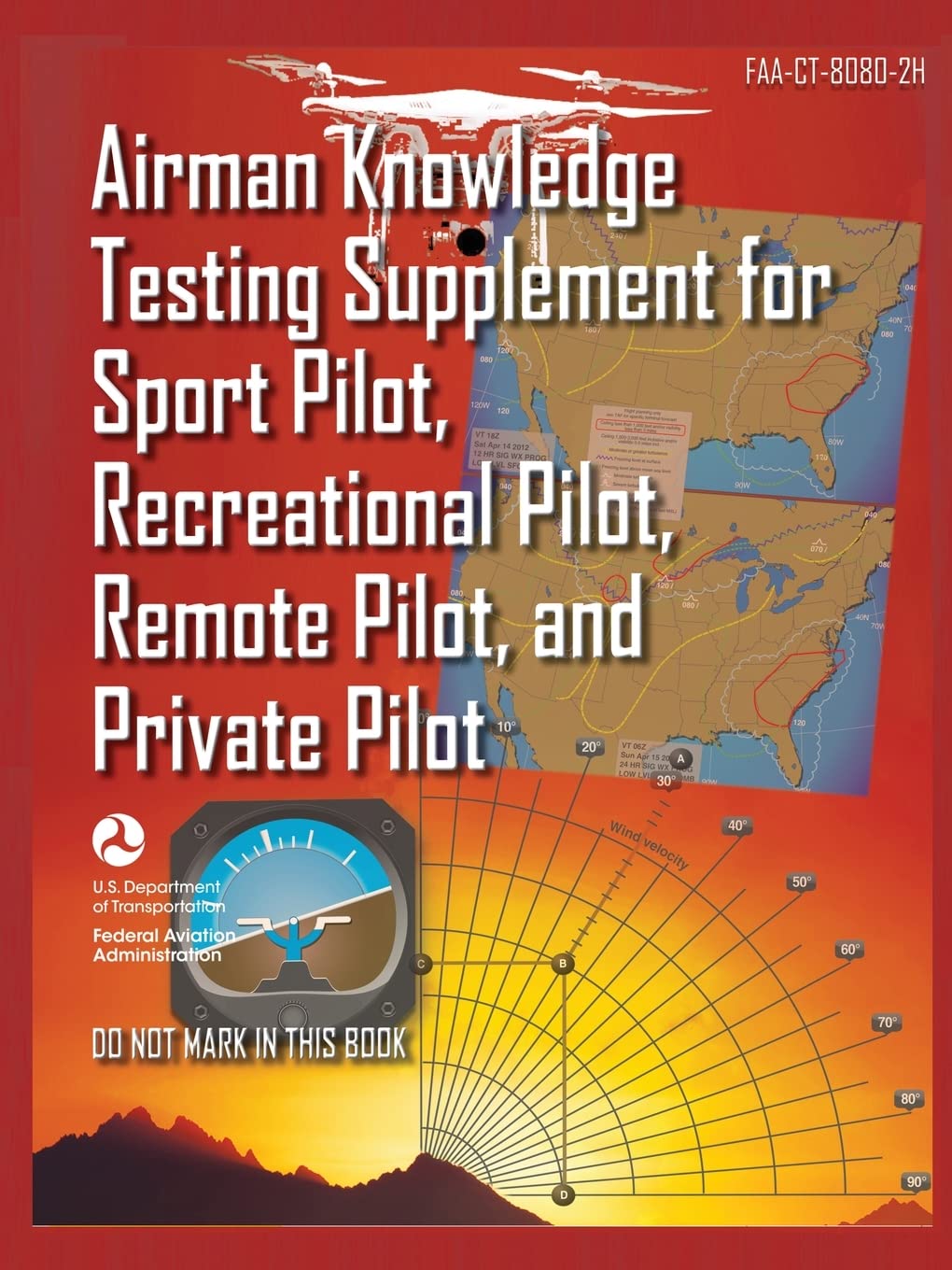
(Refer to FAA-CT-8080-2H.pdf, Figure 12.) According to the Boise Air Terminal, Boise, Idaho (KBOI) METAR report, the wind direction is from
Imported item 63
The correct answer is:

Access the FAA-CT-8080-2H pdf. Let’s interpret the METAR weather report for KBOI air terminal.
METAR reports follow this specific formatting that you will need to memorize. Ignore the commas and semi colons. They’re for visualization purposes only.
Type of report, airport ID, Time/Date, Wind, Visibility, Cloud coverage, Temperature/Dew Point, Altimeter, Remarks.
Therefore,
METAR KBOI 121854Z 13004KT 30SM SCT150 17/6 A3015Translates to:
METAR report; Boise Air Terminal, Boise, Idaho; 12th day of the month at 1854 Zulu (UTC); Wind from 130° true at 4 knots; 30 statute miles visibility; scattered clouds at 15,000 feet AGL; Temperature 17°C, dew point 6°C; Altimeter setting: 30.15 inches of mercury (inHg).
From reading the weather conditions, we can infer that A is right.
That's correct! Good job

Access the FAA-CT-8080-2H pdf. Let’s interpret the METAR weather report for KBOI air terminal.
METAR reports follow this specific formatting that you will need to memorize. Ignore the commas and semi colons. They’re for visualization purposes only.
Type of report, airport ID, Time/Date, Wind, Visibility, Cloud coverage, Temperature/Dew Point, Altimeter, Remarks.
Therefore,
METAR KBOI 121854Z 13004KT 30SM SCT150 17/6 A3015Translates to:
METAR report; Boise Air Terminal, Boise, Idaho; 12th day of the month at 1854 Zulu (UTC); Wind from 130° true at 4 knots; 30 statute miles visibility; scattered clouds at 15,000 feet AGL; Temperature 17°C, dew point 6°C; Altimeter setting: 30.15 inches of mercury (inHg).
From reading the weather conditions, we can infer that A is right.
On a chilly autumn morning, you notice wisps of fog rising from a lake, making it look like steam. What causes this?
Imported item 64
The correct answer is:

Steam fog forms when cold air flows across warmer water, adding moisture that quickly condenses near the surface. There are four common fog types:Radiation fog forms overnight when clear skies and light winds let the ground cool. The air touching the ground cools to its dew point and condenses.Advection fog forms when warm, moist air moves over a colder surface (like cool land or water). The air cools to its dew point and fog forms. Needs a steady breeze.Upslope fog forms when moist air is pushed up terrain (hills/mountains). Rising air cools, reaches its dew point, and becomes fog along the slope.
That's correct! Good job

Steam fog forms when cold air flows across warmer water, adding moisture that quickly condenses near the surface. There are four common fog types:Radiation fog forms overnight when clear skies and light winds let the ground cool. The air touching the ground cools to its dew point and condenses.Advection fog forms when warm, moist air moves over a colder surface (like cool land or water). The air cools to its dew point and fog forms. Needs a steady breeze.Upslope fog forms when moist air is pushed up terrain (hills/mountains). Rising air cools, reaches its dew point, and becomes fog along the slope.
The forecast calls for an overnight low of 50°F with a dew point of 49°F under clear skies and calm winds. At sunrise, the field is covered in dense fog, and your drone has a thin layer of frost on its propellers. What best explains what happened and why it matters for your flight?
Imported item 65
The correct answer is:

The dew point is the temperature needed for air to become fully saturated and unable to hold more moisture. Once the air temperature matches the dew point, frost or ice fog will develop if below freezing temperatures. If above freezing temperatures, fog; low clouds; or rain can form.
In this scenario because the temperature and dew point were only 1°F apart overnight, cooling brought the air to saturation, producing fog.
Objects like cars, grass, and your drone’s propellers cooled slightly below freezing, so moisture condensed directly as frost.
For a remote pilot, this matters in two ways
1) Fog = reduced visibility, which can prevent compliance with Part 107’s VLOS and 3 SM visibility rule.
2) Frost disrupts smooth airflow, reducing lift and increasing drag even on a small UAS. A drone must be completely frost-free before safe flight.
That's correct! Good job

The dew point is the temperature needed for air to become fully saturated and unable to hold more moisture. Once the air temperature matches the dew point, frost or ice fog will develop if below freezing temperatures. If above freezing temperatures, fog; low clouds; or rain can form.
In this scenario because the temperature and dew point were only 1°F apart overnight, cooling brought the air to saturation, producing fog.
Objects like cars, grass, and your drone’s propellers cooled slightly below freezing, so moisture condensed directly as frost.
For a remote pilot, this matters in two ways
1) Fog = reduced visibility, which can prevent compliance with Part 107’s VLOS and 3 SM visibility rule.
2) Frost disrupts smooth airflow, reducing lift and increasing drag even on a small UAS. A drone must be completely frost-free before safe flight.
You are flying near the mountains and see smooth clouds shaped like contact lenses sitting over the peaks. What kind of flying conditions should you expect?
Imported item 66
The correct answer is:

These are lenticular clouds. They look smooth and still, but they mean there are powerful winds and turbulence in the area, especially on the downwind side of the mountains.
That's correct! Good job

These are lenticular clouds. They look smooth and still, but they mean there are powerful winds and turbulence in the area, especially on the downwind side of the mountains.
.svg)


